Here are the products:
Here are the articles:
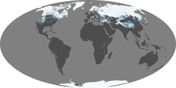
Snow Cover Radar Maps / Trackers for UK and World
Measuring and mapping the amount of snow on the ground or falling is surprisingly tricky. But we've managed to track down a selection of [...]
Crondall Flood Warnings and Local River Levels 
The Environment Agency now provides regular measurement of river levels and ponds in order to give an early warning of any potential flooding. [...]
Hurricane and Tropical Storm Tracker 
The Atlantic hurricane season officially starts on 1st June and ends on 30th November. Since 1953 all Atlantic tropical storms have been named [...]
Earthquakes and Earthquake Tracker outside the UK
Although in the UK we regard anything in the region of 3.0 on the Richter as newsworthy, for many geographies that wouldn't even raise [...]
Night and Day Tracker over Crondall
Here's a really neat dynamic tool that shows a view over Crondall from just over 22,000 miles above, so you can see the [...]
UK Lightning Tracker Map and Lightning Facts
If the weather is a bit humid then just check the maps below to see where the latest lightning strikes are happening. We [...]
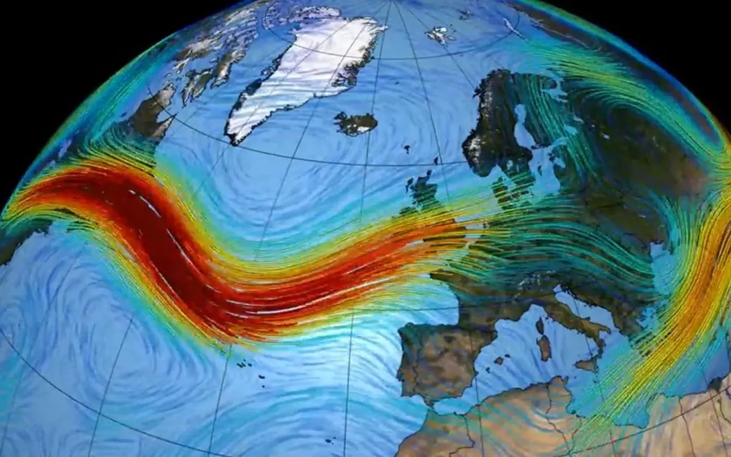
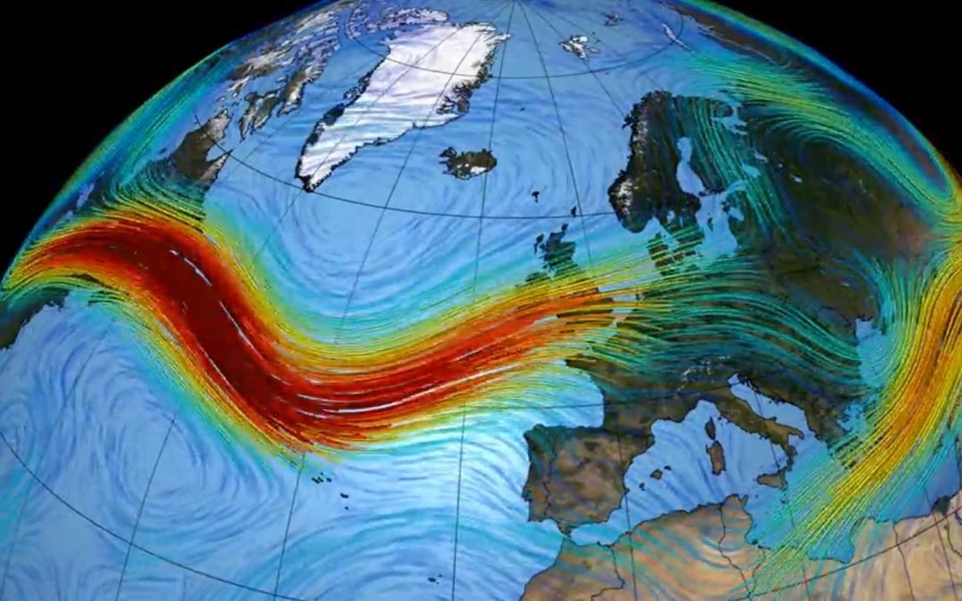
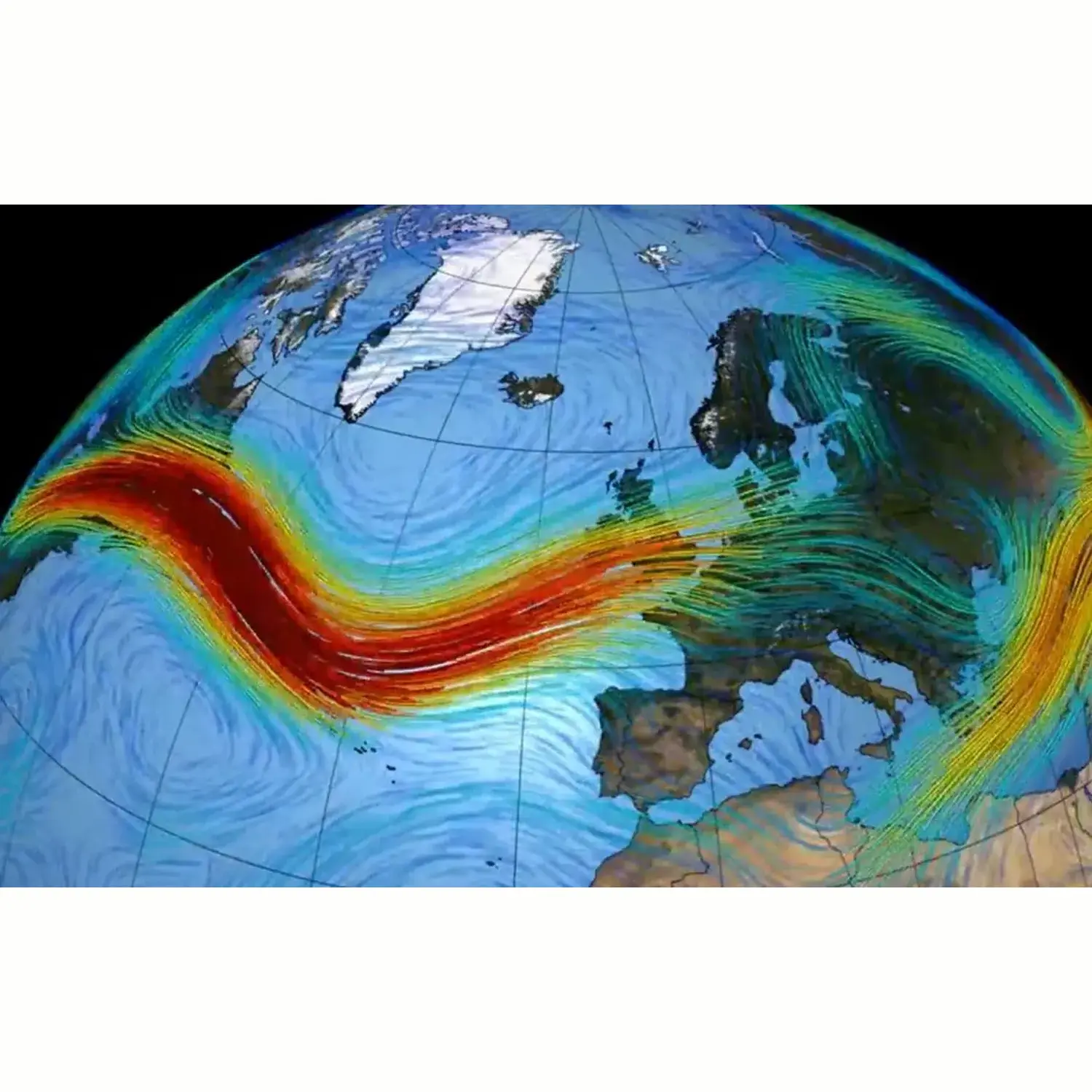
Jetstream Tracker for the UK and Jetstream Facts
'Jet streams' were first discovered during the Second World War. Pilots were regularly flying between United Kingdom and the United States of America [...]


