Here’s the latest warnings issued by the Met Office

There are 2 warnings in effect.

Warning overview for UK

Yellow weather warning
Yellow – Snow & ice
Central, Tayside & Fife, Grampian, Highlands & Eilean Siar, North East England, Orkney & Shetland, SW Scotland, Lothian Borders, Yorkshire & Humber
Yellow weather warning
Yellow – Snow & ice
Central, Tayside & Fife, Grampian, Highlands & Eilean Siar, North East England, SW Scotland, Lothian Borders, Yorkshire & Humber

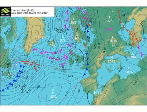
Warning details for UK

yellow warning,
snow and
ice
from Today

(UTC) to
Tomorrow
(UTC)

Regions and local authorities affected:

Central, Tayside & Fife
  • Angus
Grampian
  • Aberdeen
  • Aberdeenshire
  • Moray
Highlands & Eilean Siar
  • Na h-Eileanan Siar
  • Highland
North East England
  • Darlington
  • Durham
  • Gateshead
  • Hartlepool
  • Middlesbrough
  • Newcastle upon Tyne
  • North Tyneside
  • Northumberland
  • Redcar and Cleveland
  • South Tyneside
  • Stockton-on-Tees
  • Sunderland
Orkney & Shetland
  • Orkney Islands
  • Shetland Islands
SW Scotland, Lothian Borders
  • East Lothian
  • Scottish Borders
Yorkshire & Humber
  • East Riding of Yorkshire
  • North Yorkshire

Headline

Icy patches and snow are possible, and may lead to hazardous conditions Tuesday evening and overnight into Wednesday morning.

What to expect

  • Some injuries from slips and falls on icy surfaces
  • Probably some icy patches on some untreated roads, pavements and cycle paths
  • Some roads and railways likely to be affected with longer journey times by road, bus and train services

Further details

Wintry showers will lead to ice forming on untreated surfaces during Tuesday evening and overnight into Wednesday morning. Snow will begin to accumulate, especially away from windward coasts, with 1-3cm possible. Higher routes of northeast Scotland may see up to 5cm of snow accumulate.


Warning impact matrix

This warning has a medium likelihood and a low impact.

yellow warning,
snow and
ice
from Tomorrow

(UTC) to
Thu 30
(UTC)

Regions and local authorities affected:

Central, Tayside & Fife
  • Angus
  • Dundee
  • Fife
Grampian
  • Aberdeen
  • Aberdeenshire
  • Moray
Highlands & Eilean Siar
  • Highland
North East England
  • Darlington
  • Durham
  • Gateshead
  • Hartlepool
  • Middlesbrough
  • Newcastle upon Tyne
  • North Tyneside
  • Northumberland
  • Redcar and Cleveland
  • South Tyneside
  • Stockton-on-Tees
  • Sunderland
SW Scotland, Lothian Borders
  • East Lothian
  • Edinburgh
  • Midlothian Council
  • Scottish Borders
Yorkshire & Humber
  • North Yorkshire

Headline

Showers, falling as snow inland, will lead to icy patches and hazardous conditions.

What to expect

  • Some roads and railways likely to be affected with longer journey times by road, bus and train services
  • Some injuries from slips and falls on icy surfaces
  • Probably some icy patches on some untreated roads, pavements and cycle paths

Further details

Wintry showers will continue to affect northern and eastern parts of Scotland and northeast England during Wednesday evening, overnight and into Thursday morning. These are likely to fall onto frozen surfaces allowing icy patches to form. Additionally, showers will fall as snow inland, with up to 2cm possible in places, perhaps as much as 5 cm over high ground.


Warning impact matrix

This warning has a medium likelihood and a low impact.

and in terms of what does this mean

Red warning

  • Dangerous weather is expected and, if you have not done so already, you should take action now to keep yourself and others safe from the impact of the severe weather.
  • It is very likely that there will be a risk to life, with substantial disruption to travel, energy supplies and possibly widespread damage to property and infrastructure.

Amber warning

  • There is an increased likelihood of impacts from severe weather, which could potentially disrupt your plans.
  • This means there is the possibility of travel delays, road and rail closures, power cuts and the potential risk to life and property.

Yellow warning

  • Yellow warnings can be issued for a range of weather situations.
  • It is important to read the content of yellow warnings to determine which weather situation is being covered by the warning.